About Us
- Home
- About Us
Sky-Deploy empowers your projects with precise aerial surveys, inspections, and mapping, enabling informed decision-making. Our commitment to safety and compliance is evident in our team of certified, licensed, and insured pilots. We understand that every project is unique, which is why we offer customized solutions tailored to your specific needs and objectives. Leveraging advanced drone and imaging technology, we deliver superior results with a focus on fast turnaround times, ensuring efficient project completion and delivery to meet your critical deadlines.


Innovative Technology
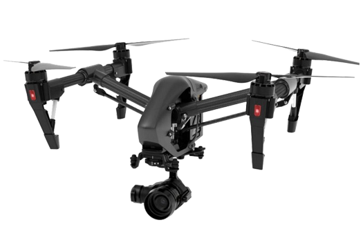
Our advanced drone technology, powered by artificial intelligence and sophisticated software, delivers precise and secure data, even in challenging environments. We consistently achieve centimeter-level accuracy using state-of-the-art equipment.
Focusing on Precision and Reliability
Our vision is to establish the benchmark for precision and reliability in aerial data collection, solidifying our position as the premier provider of centimeter-level accurate aerial data. We are dedicated to delivering the most trusted and accurate insights, empowering our clients with the confidence to make critical decisions, driving innovation and success across diverse industries.
Aerial Intelligence
Next-Gen Drone Surveying
Elevate your projects with our expert UAV services. We deliver precise drone survey solutions and unlock the full potential of advanced technology, providing unparalleled insights and efficiency.

