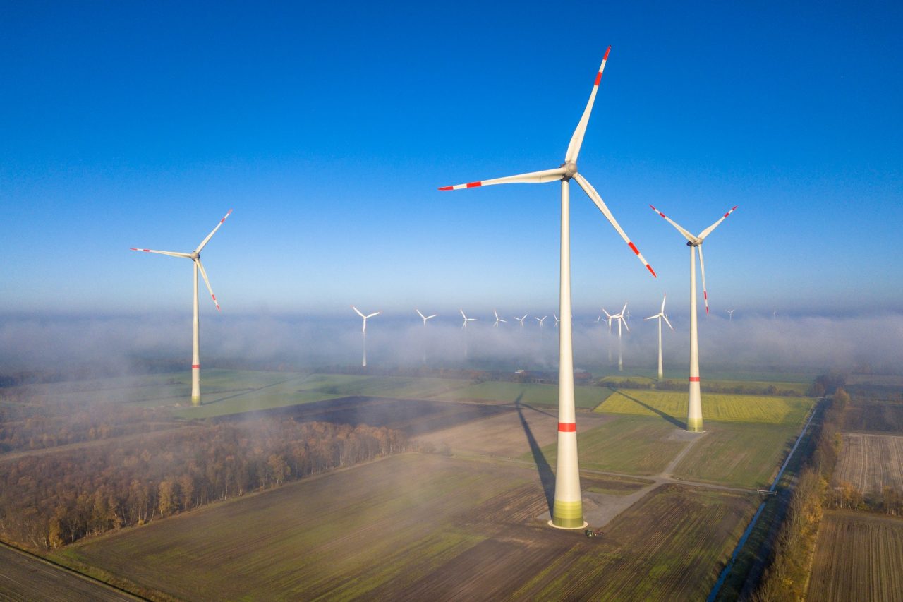
Forests are vital ecosystems and critical economic resources, covering vast, often challenging terrains. Managing these areas effectively – monitoring health, assessing timber value, preventing fires, and promoting regrowth – has traditionally been a labor-intensive, costly, and sometimes dangerous endeavor. Enter drone technology, or Unmanned Aerial Vehicles (UAVs). Once a novel concept, drones are rapidly transitioning into an indispensable tool for modern forestry management.
At Sky-Deploy, we see firsthand how this technology provides solutions that were previously unimaginable, offering unprecedented efficiency, safety, and data quality. Let’s explore why drones are no longer just helpful, but becoming essential for the forestry sector.
1. Enhanced Monitoring & Health Assessment
Traditional forest health monitoring often involves slow, ground-based surveys or expensive manned aircraft flights. Drones equipped with specialized sensors (like multispectral or hyperspectral cameras) can cover large areas quickly, detecting subtle signs of stress, disease, or pest infestation long before they are visible to the naked eye or from the ground. Early detection allows for timely intervention, saving valuable timber and preventing widespread damage.
- Benefit: Faster, more proactive forest health management.
- Technology: High-resolution RGB, multispectral, hyperspectral imaging.
2. Precision Mapping & Inventory
Knowing what you have and where it is located is fundamental to forestry. Drones excel at creating high-resolution orthomosaic maps and detailed 3D models of forest areas. This allows for: * Accurate boundary mapping. * Tree counting and density analysis. * Canopy height and structure measurement. * Using technologies like LiDAR (Light Detection and Ranging) mounted on drones, foresters can even penetrate the canopy to map the terrain beneath and estimate timber volume with remarkable accuracy.
- Benefit: Highly accurate, cost-effective mapping and inventory data.
- Technology: Photogrammetry, LiDAR, GPS tagging.
3. Revolutionizing Fire Management
Forest fires pose a significant threat. Drones offer critical advantages in fire prevention, detection, and management: * Early Detection: Thermal cameras on drones can spot hotspots indicative of potential fires, even at night or through smoke. * Real-time Monitoring: During an active fire, drones provide situational awareness to firefighters without risking personnel, tracking the fire’s spread and identifying key areas for intervention. * Post-Fire Assessment: After a fire, drones quickly map the extent of the damage, aiding in recovery planning and erosion control efforts.
- Benefit: Improved safety, faster response times, and better strategic fire management.
- Technology: Thermal imaging, real-time video feeds.
4. Efficient Reforestation & Planting
Restoring forests is crucial. Drone-based seeding systems are emerging as a powerful tool for reforestation, especially in remote or difficult-to-access terrain left barren by logging or fire. These systems can carry seed pods (often coated in nutrient-rich soil) and deploy them precisely across designated areas much faster and potentially cheaper than manual planting crews.
- Benefit: Accelerated and targeted reforestation efforts.
- Technology: Custom drone platforms with seed dispersal mechanisms.
5. Improving Safety & Reducing Costs
Forestry work can be hazardous. Drones significantly reduce the need for personnel to enter dangerous areas, whether it’s steep slopes for surveying, dense undergrowth for monitoring, or active fire zones. By automating data collection and reducing reliance on expensive manned aircraft or large ground crews, drones also offer substantial cost savings in fuel, time, and labor.
- Benefit: Enhanced worker safety and significant operational cost reduction.
The Future is Airborne
While challenges like evolving regulations, data processing requirements, and pilot training exist, the trajectory is clear. The integration of AI for automated data analysis, the development of drones with longer flight times and heavier payload capacities, and the potential for drone swarms will only further solidify their essential role.
Drone technology provides forest managers with the timely, accurate, and comprehensive data needed to make informed decisions. It’s transforming practices, enhancing sustainability, and ensuring the health and productivity of our vital forest resources for the future. For forestry, the view from above isn’t just beneficial anymore – it’s becoming fundamental.
Optional additions for Sky-Deploy.com:
- Include a call-to-action: “Learn how Sky-Deploy’s tailored drone solutions can revolutionize your forestry operations. Contact us today!”
- Link to specific services or case studies on the Sky-Deploy website related to forestry.
- Add relevant, high-quality images or videos of drones operating in a forest environment.